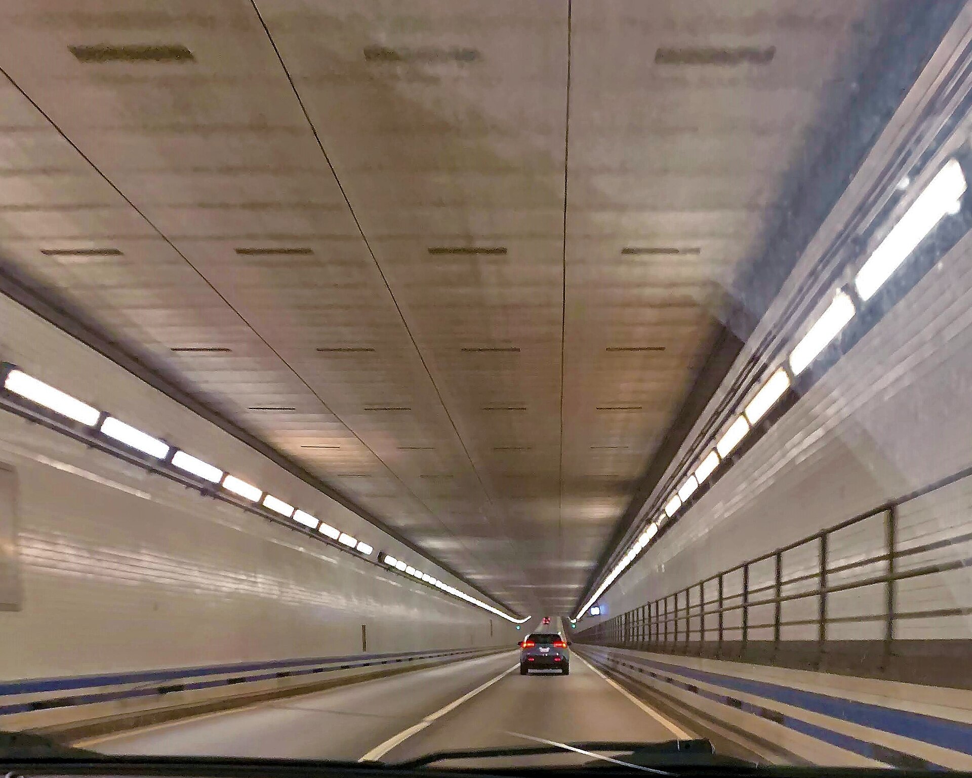
Seventeen Miles of Open Water: The Bridge-Tunnel That Stitched Virginia Together
The Chesapeake Bay Bridge-Tunnel runs 17.6 miles from Virginia Beach to the Eastern Shore, diving under two shipping channels on the way. It is routinely called one of the engineering wonders of the modern world, and the commute is a seascape.
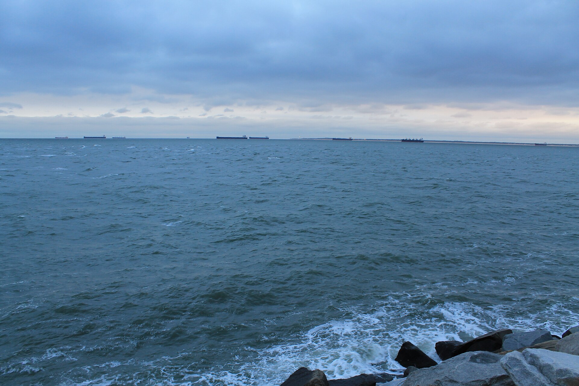
There are drives, and then there is the Chesapeake Bay Bridge-Tunnel. From the Virginia Beach shore at Cape Henry, U.S. Route 13 runs 17.6 miles across the mouth of the Chesapeake Bay — causeway, trestle, and two one-mile tunnels passing beneath the shipping channels — to land on Virginia's Eastern Shore. When it opened in 1964 it replaced the ferries and effectively welded the Delmarva Peninsula to Hampton Roads.
The engineering is the quiet kind: twin spans now carry both directions, the tunnels rest on artificial islands where fishing piers and a rest area once let travelers stand, improbably, in the middle of the ocean on concrete, and the whole structure is engineered to be struck by weather and admired from a car window. The crossing is also a wildlife corridor — the islands and trestles sit in the Atlantic Flyway, and birders time migrations to the structure's railing views.
For the Eastern Shore, the bridge-tunnel is an aorta: Northampton and Accomack's farm and seafood economies reach Norfolk and Virginia Beach markets through it, and Shore residents reach hospitals, airports, and the military economy on the south side. Tolls fund its upkeep and its parallel-tunnel expansion program, which has been adding capacity to the Thimble Shoal crossing.
Drivers' guidance is simple and seasonal: the span is exposed, high-profile vehicles get restricted in November's nor'easter winds, and the old advice — check restrictions before you cross — has saved many a moving day. Everyone else should just enjoy the strangest, most beautiful drive in Virginia.